Couldn't load pickup availability
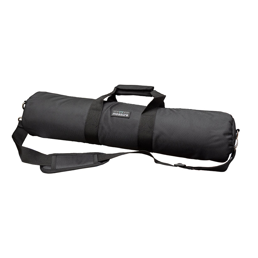
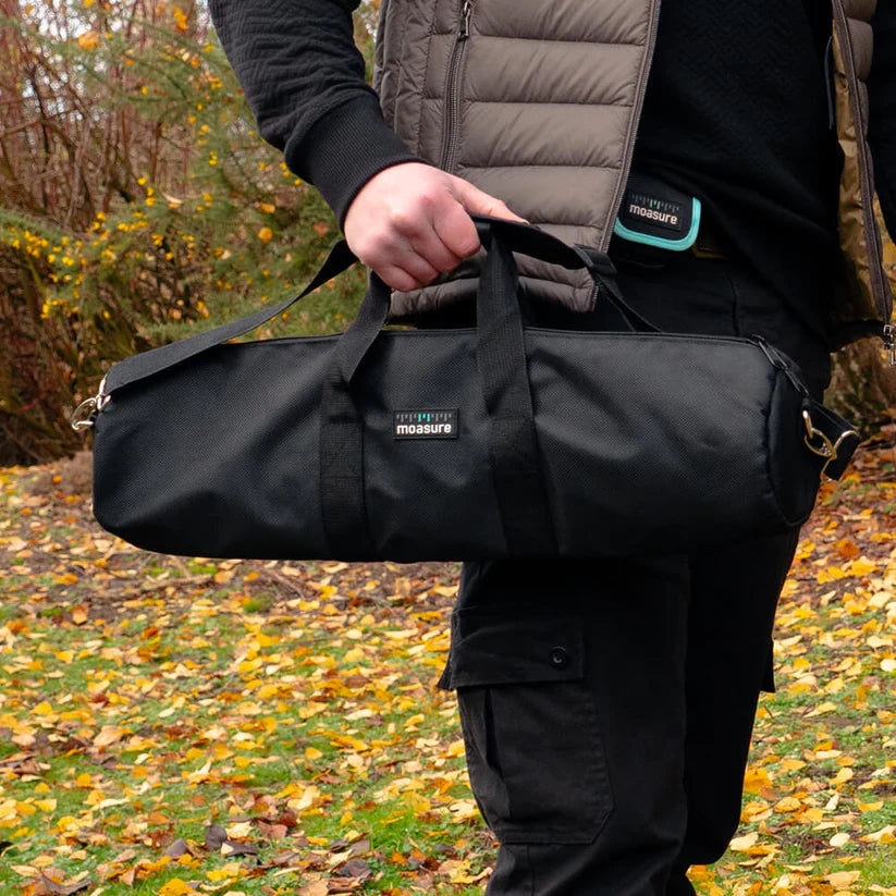
The Moasure STICK tool bag keeps your Moasure device and STICK together in one place for safe and easy transportation.
Please select your shipping country.
Discover Moasure from the country of your choice. Remember that we can only ship your order to addresses located in the chosen country.